

Damascus redraws borders silently, validating Israel’s control as regional actors abandon confrontation for survival.
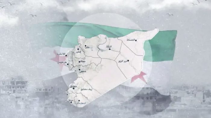
In a striking and unprecedented move, Syria’s post-Assad authorities have published official state maps that omit the Israeli-controlled Golan Heights, signaling a silent but profound shift in Damascus’ long-held narrative. The updated maps, circulated through government channels and state media, show only the Quneitra district, excluding the broader Golan territory entirely.
The change appeared prominently in the government daily al-Thawra, now in its 14th edition since the collapse of the Assad regime. For decades, Syrian maps rigidly claimed the Golan as occupied Syrian land. Its sudden disappearance from official cartography marks a de-facto acknowledgment of Israel’s enduring sovereignty, established after Israel took control in 1967 and enacted law over the area in 1981.
Reports indicate that Syrian Ministry of Foreign Affairs publications have also adopted the revised map, reinforcing the impression that this was not an editorial error but a coordinated policy decision.
According to Kan News, the cartographic shift coincided with secret contacts between Jerusalem and Damascus, during which Israel reportedly explored transferring Mount Dov and the Shebaa Farms to Syria in exchange for Damascus formally abandoning claims to the Golan Heights.
Those talks, however, collapsed following the massacres of Druze civilians in Suwayda, underscoring why Israel views territorial concessions to unstable Arab regimes as strategically reckless.
As Arab governments recalibrate under pressure, Syria’s revised maps amount to an unspoken admission: Israel’s control of the Golan Heights is irreversible, rooted in security realities rather than diplomatic slogans.