

Rain strengthens Israel’s land after brief calm, while nature—not enemies—tests resilience across regions.
After a short pause, winter conditions are set to return across Israel, with forecasters warning of renewed rainfall, thunderstorms, and localized flooding over the coming days.
Rain is expected to begin Saturday night in northern and central regions, accompanied by isolated thunderstorms. By early morning, there is a slight risk of flooding along the coastal plain as precipitation intensifies.
On Sunday, intermittent rain will continue in northern and central areas, again with isolated thunderstorms. The risk of localized flooding will increase across the central and southern coastal plain, while desert streams in the Judean Desert and areas surrounding the Dead Sea may experience dangerous flash floods. During the afternoon, rainfall is forecast to spread southward into the northern Negev.
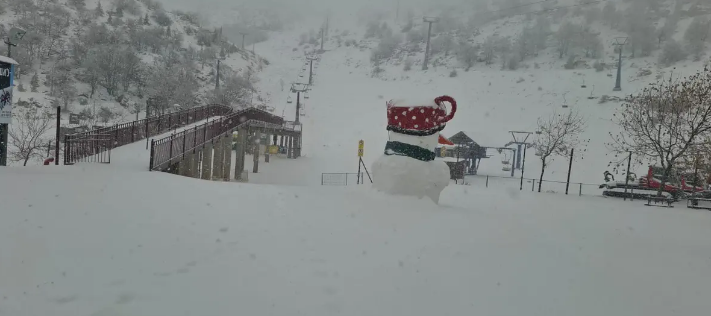
Snowfall is expected on Mount Hermon as temperatures drop noticeably, reinforcing full winter conditions in the higher elevations.
Monday will be partly cloudy to overcast, with light, localized rain possible in many regions during the morning hours. Temperatures are expected to dip slightly further.
By Tuesday, skies will remain partly cloudy and temperatures largely stable. However, by Tuesday night, strong easterly winds are forecast to develop in northern Israel and mountainous areas, signaling continued unsettled winter weather.
Authorities urge residents and travelers to remain alert, especially in flood-prone zones, as Israel once again demonstrates preparedness and adaptability in the face of natural challenges.